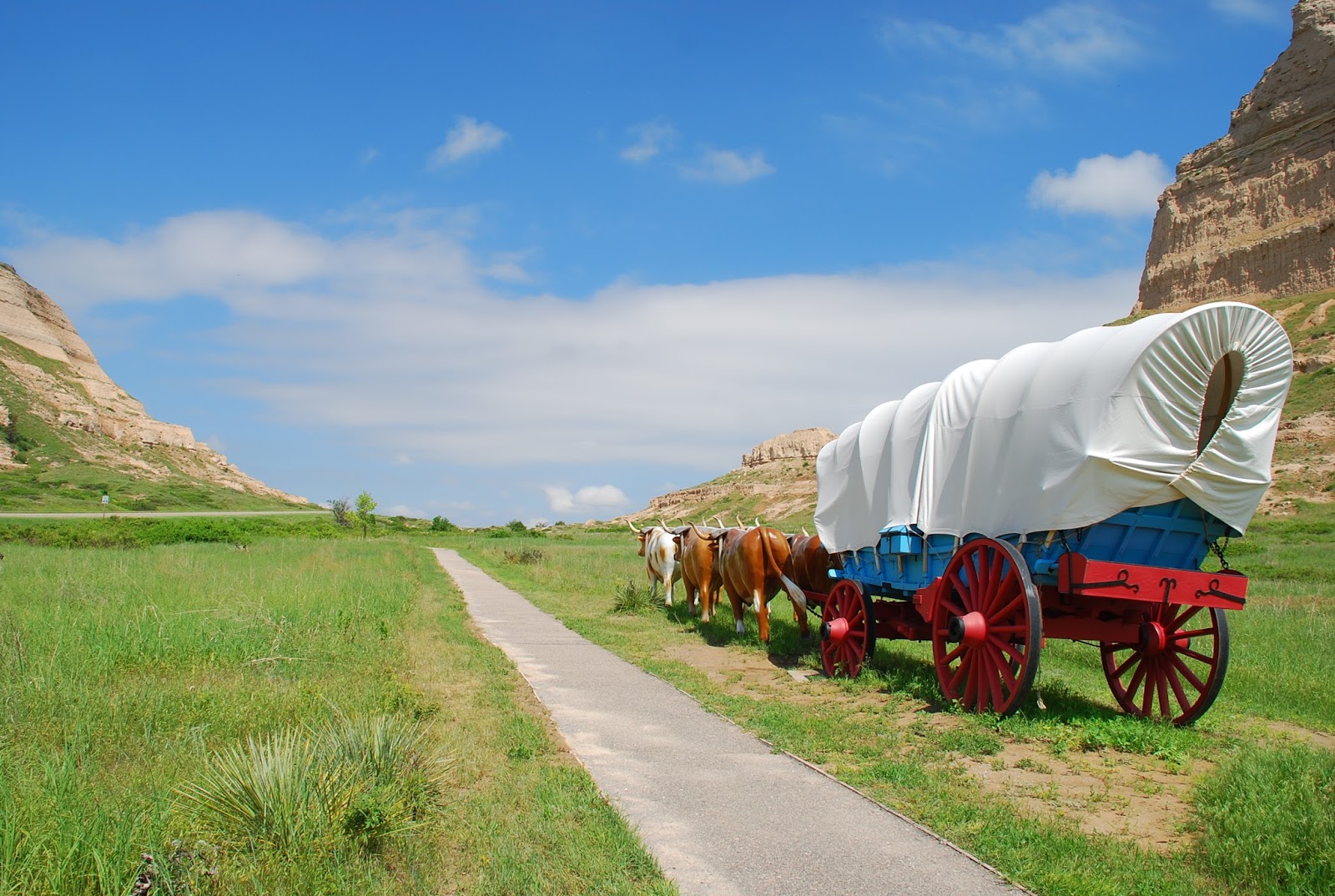
Initially, the earlier days pioneers tended to travel through the buttes a bit north at Robidoux Pass, because the approach pictured here had some difficult gullies and ravines east of the opening. They were filled in sometime in the 1840s or early 1850s, and thereafter travelers used the one shown. Robidoux was a trader in furs and some supplies to the east of the pass.
Thousands of pioneers came through this openin in the mid- 1800s , possibly some of your own relatives, bound for Oregon's fertile Willamette Valley or eastern Washington, or even Wyoming and Montana (lesser numbers).
Today you can drive in your heated or air-conditioned car along major highway #26 to imagine your ancestor's trip through today's Nebraska along the Platte River -- here at Scotts Bluff the North Platte. He/she probably prevented starvation some days by eating hardtack, Believe me, it resembles a piece of bread that had been run over by the wheels of your Conestoga wagon a month ago!. I sampled one, hoping my teeth would not break off in the process. It was created by just flour and water, plus salt, perhaps.
No comments:
Post a Comment